This time we turned east at the bridge to the remains of ancient shielings and then up by Loch Chlachan Dearga and Loch Ruadh onto the long and boggy north ridge of Uisenis. This twin topped hill has a really remote feel, perhaps even more so than Caiteshal which we visited last year. Although Caiteshal is even harder to come to, civilisation seems closer just across the narrow mouth of Loch Seaforth! We made sure to visit both summits since there seems some ambiguity which is higher. Alan Dawson lists the south top which lies a kilometre further into the remote south-east tip of the Pairc peninsula. Both give similar lovely views with the Shiant Islands particularly prominent, this being their nearest hill on mainland Lewis.
We returned along the ridge, skirting the north top and passing this time south of Loch Ruadh to reach Loch Chumraborgh below the steep eastern slopes of Gormol. Following the stream which runs into the south-west corner of this loch gave a steep but efficient route up this hill whose east top has a 470m spot height. About a mile away another whaleback ridge, which looked just as high, carries an enormous cairn and it seemed wise to incorporate this into what was already a long hard day. Had it been misty we would never have questioned the summit but what a mistake it would be to visit these hills in mist.
Of course when we reached the big cairn the original summit looked higher but the diversion was quite pleasant on a beautiful afternoon and the grassy route down the northern slopes to the 312m top was superb with the terrain only becoming unpleasant lower down this long north ridge at the bottom of which we veered leftwards looking for the weatherfish which we had found en route to Beinn Mhor and Caiteshal last year. It says something for the quality of the path from here to Eishken that I enjoyed it on the way back even after we had already been walking for twelve hours over mostly very rough terrain.
Please click on a picture below to see a full sized panoramic version.
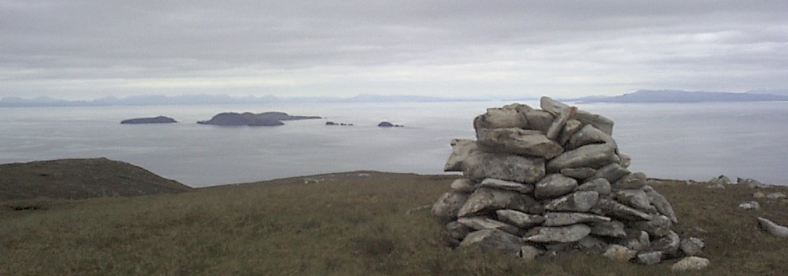
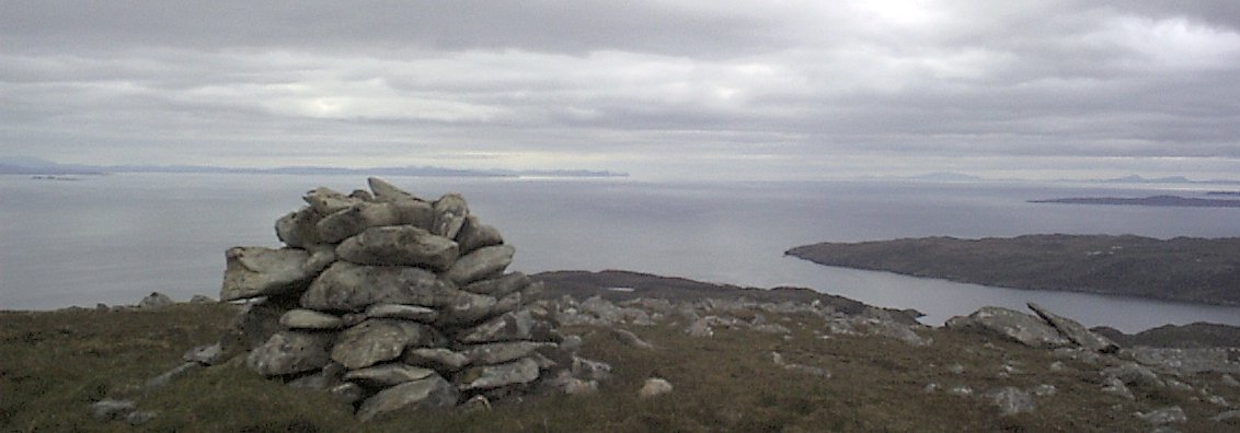
The first 2 pictures show the panorama from the south top of Uisenis. To the left of the cairn in the first picture are the Shiant Islands with an array of mainland mountains behind. To the right of the cairn is the Isle of Skye with the Cuillins seen faintly at the extreme right hand edge. In the second picture the western part of Skye is stretching above the cairn and to the right are the islands in the Sound of Harris.
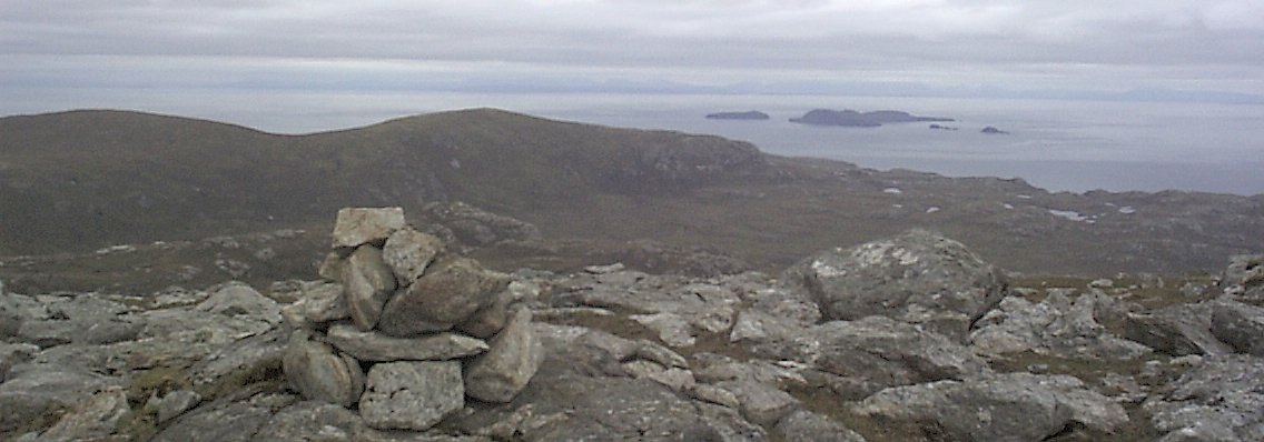
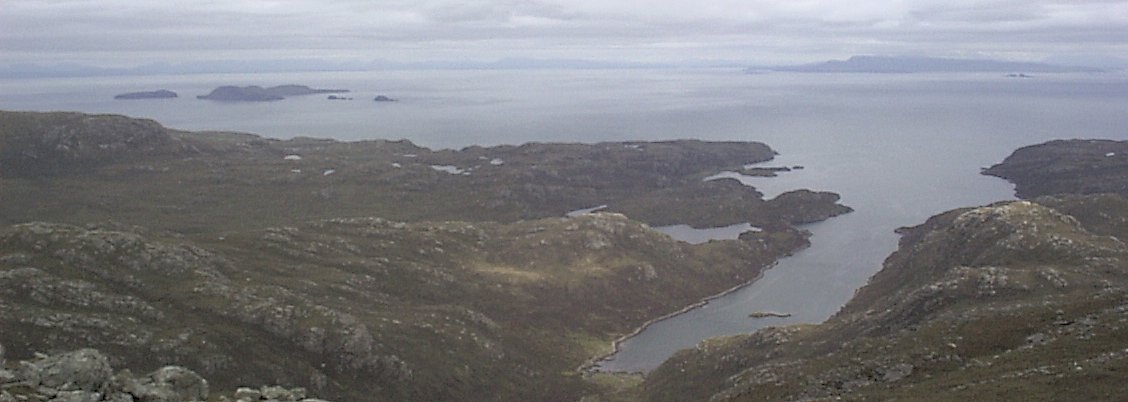
The lower pictures are taken on Gormol. The first shows Uisenis with its two tops and the Shiant Islands. The mainland hills beyond are now even fainter and disappearing into gathering mist. The second picture is looking down on Loch Bhrollum with the Shiants and Skye beyond.
 my homepage
. . . . . . . . . . . my Scottish page
my homepage
. . . . . . . . . . . my Scottish page